Click on the images below to view the full map
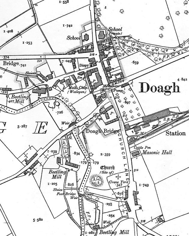
Ordnance Survey map of Doagh, 1902 (click to enlarge)

Map of East Antrim, 1812 (click to enlarge)
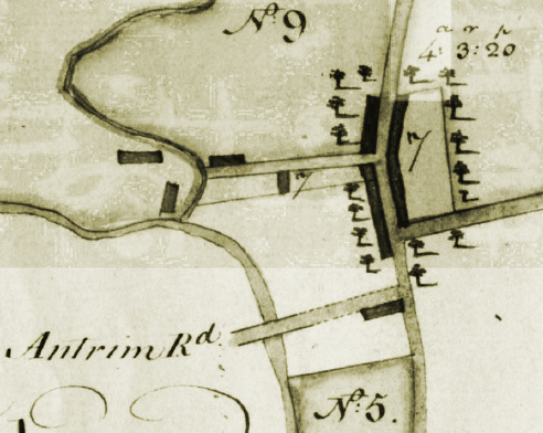
Doagh, 1788 (click to enlarge)

Bacon’s Library Map of the Province of Ulster, 1910 (click to enlarge)

Lendrick map, 1780 (click to enlarge)
")
First Ordnance Survey map of Doagh, 1830s (click to enlarge)

Doagh in 1767-70 (PRONI, D835/1/3/27) (click to enlarge)